Got flooding problems? Want to keep Wisconsin a haven for wildlife? Need to improve water quality? Want to help keep streams cool and flowing?
Chances are you can achieve these and other goals by protecting and restoring wetlands. And there’s a new tool to help land trusts and others find the best opportunities.
More than half of Wisconsin’s wetlands have been filled in or drained to grow crops and build cities and roads. Although wetlands now cover only about 15 percent of Wisconsin, they pack a big punch in terms of the habitat and ecosystem services they provide. For instance, recent research in nearby Minnesota shows that, acre-for-acre, wetlands are five times more effective at purifying water (reducing nitrate) than upland conservation practices.
A wetland protected or restored for water quality is also likely to provide additional benefits, such as reducing the impact of floods, removing carbon from the atmosphere and storing it, and maintaining streamflow during droughts. But not all wetlands provide the same services or provide them to the same degree. It depends on where the wetland is positioned in its watershed, its land-use context, and other factors.
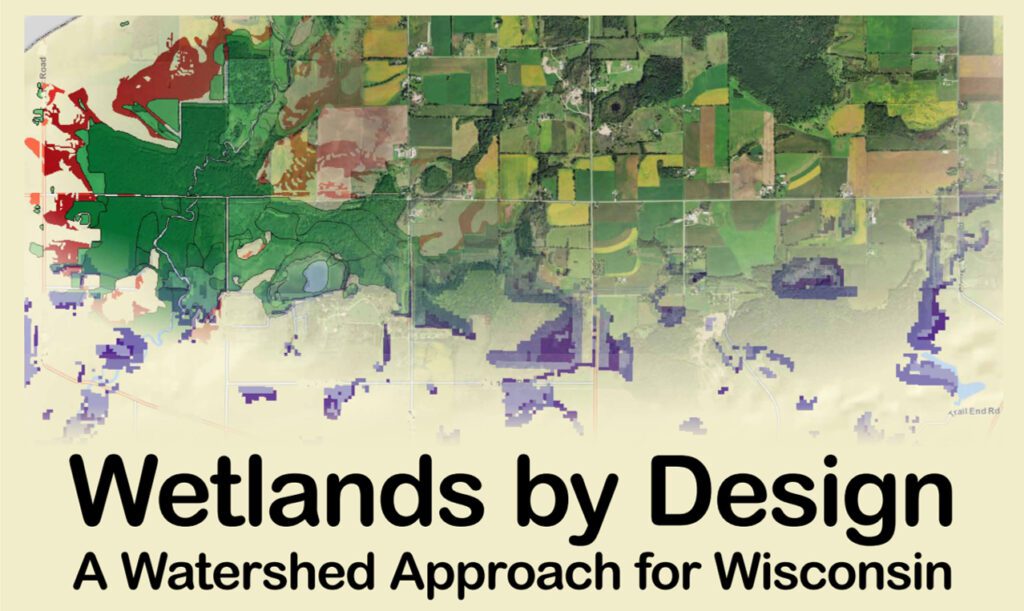
For all these reasons, The Nature Conservancy and Wisconsin Department of Natural Resources (DNR) teamed up to create Wetlands by Design. This new online tool aims to help Wisconsin’s land trusts and others find the best sites to meet conservation and ecosystem service goals, while providing the biggest bang for the buck.
Do you already have a site you’re considering for conservation?
Wetlands by Design can help you evaluate what roles it can play in supporting people and nature.
Want to find a site that matches your ecosystem service or habitat goals?
You can use Wetlands by Design to explore your watersheds and find good opportunities.
Wetlands by Design can be used to find good sites for wetland-focused funding opportunities, like DNR’s new wetland mitigation program, North American Wetlands Conservation Act grants, Great Lakes Restoration Initiative, and others. You can also download data directly from Wetlands by Design to help with your land trust’s conservation and acquisition planning.
Go to WetlandsByDesign.org to find more information, a link to the free online mapping tool, and a brief video showing how to use the tool. Don’t hesitate to reach out if you’d like to explore how your land trust can use this new tool!
Guest blogger, Nick Miller, is Director of Science at The Nature Conservancy in Wisconsin.
Nick Miller
The Nature Conservancy in Wisconsin
608-316-6425
nmiller@tnc.org