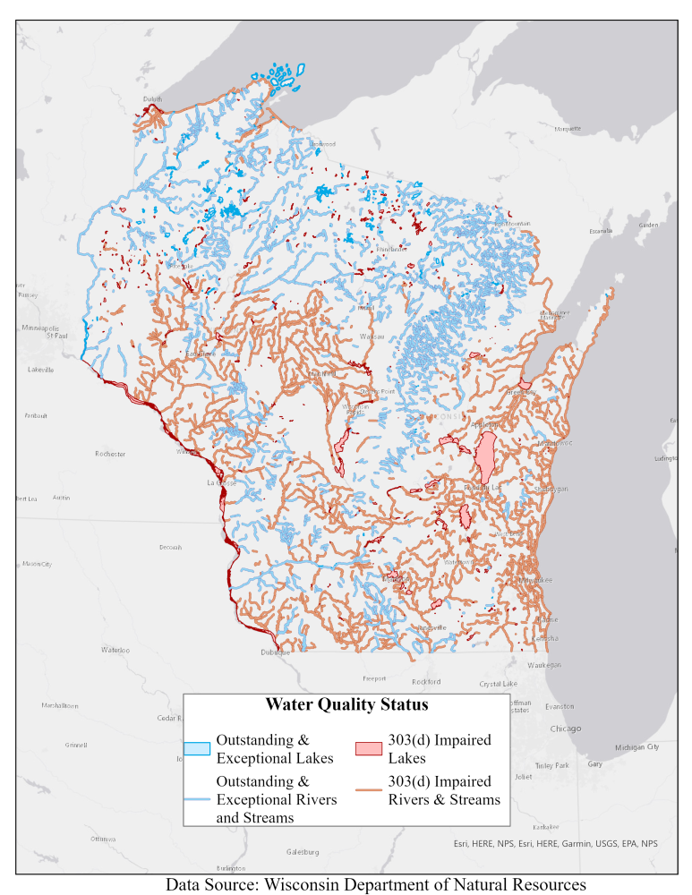
A new mapping application created by researchers at UW-Stevens Point highlights the key role that protecting land plays in maintaining and enhancing water resources around the state.
The Center for Land Use Education (CLUE) has been partnering with Gathering Waters on a series of projects and research to provide information for land trusts and the general public to help explore the connection between land and water throughout the state.
Recently, this programming included two workshops focused on facilitating collaborations between land trusts and lake groups. During these presentations, researchers from UW-Stevens Point, led by Assistant Professor Austin Holland, created a first draft of an interactive map to demonstrate the connections between land protection and water throughout the state using publicly available Geographic Information System (GIS) data.
In response to the positive feedback from attendees at these workshops, a public version of this initial map was developed in partnership with colleagues in CLUE and Extension Lakes. The final version of this application highlights the key role that protecting land plays in maintaining and enhancing water resources through the various types of protected areas present within the viewer.
Find the interactive web-viewer and training documents here.
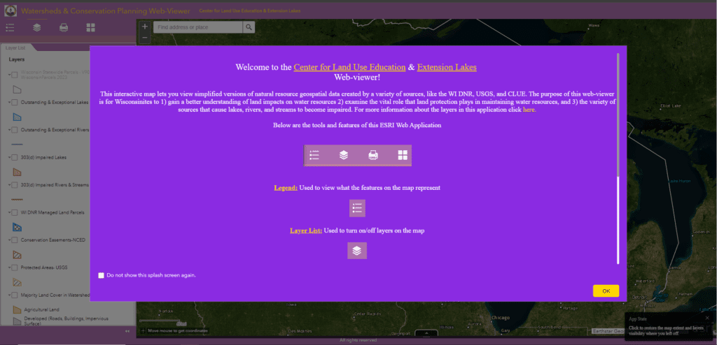
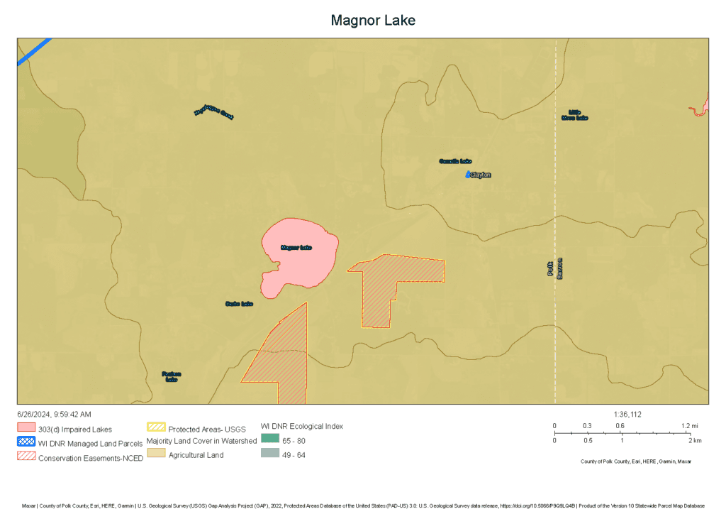
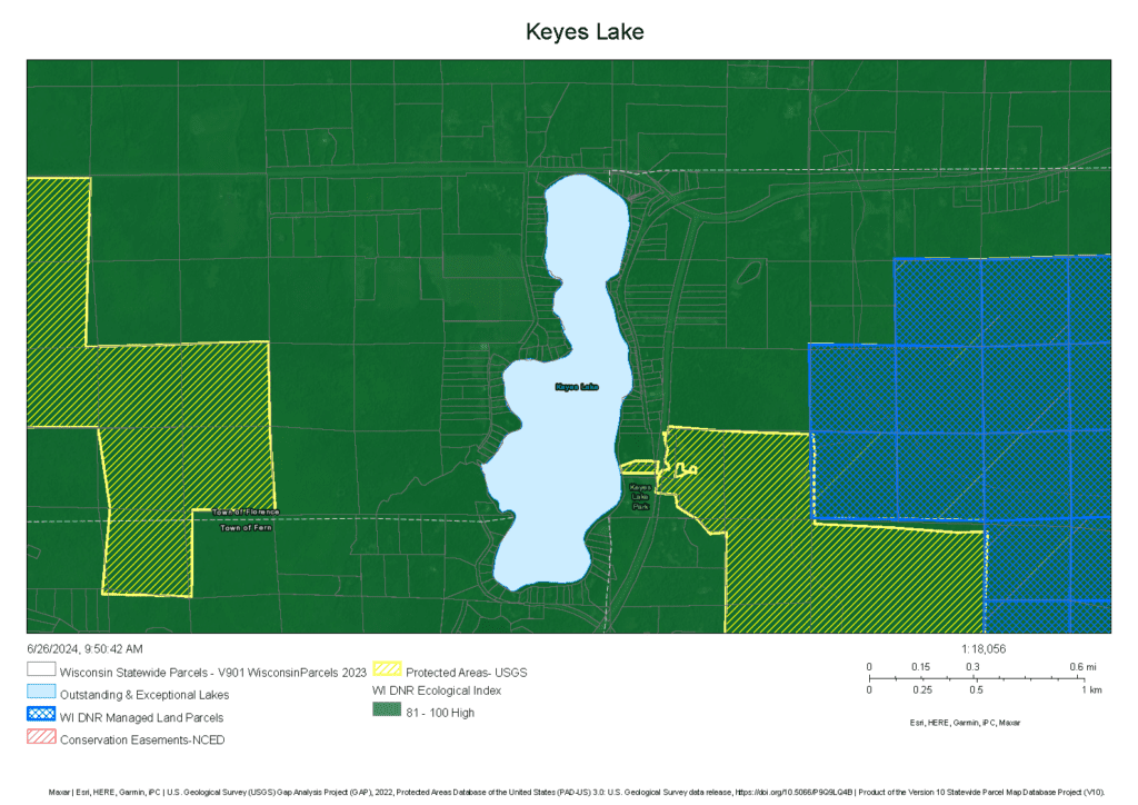
A few notes on the application:
- Parcel data is embedded in this viewer for users to identify key parcels that could be protected through various types of conservation practices or programs.
- Users can quickly make PDF maps of areas they are interested in bringing to public meetings or their local land trust.
- This map uses preexisting data from various open GIS portals, like WI DNR, USGS, and NCED. However, there is a majority land cover layer that was created using the 2021 National Land Cover Database and various geoprocessing tools.

We hope that you find the Watershed Web-Viewer useful in your work! Please reach out to Austin Holland at UW-Stevens Point if you have any questions or comments!
